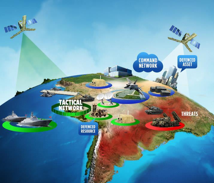
AirC2IS (NATO)
A high-security, mission-critical Command and Control (C2) geospatial platform, focusing on the management and integration of complex military symbology and spatial data.


3D - Critical Asset Tracking Platform
An end-to-end real-time asset tracking system that ingests high-frequency telemetry data, processes it asynchronously, and visualizes assets on a 3D globe with ultra-low latency updates.
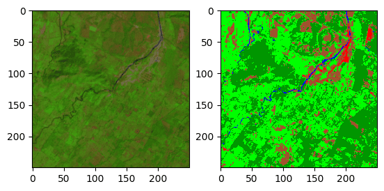
Satellite Image Land Cover Classification
This project performs land cover classification on multispectral satellite imagery using Random Forest. It includes preprocessing of satellite bands, training on labeled ROI data, masking clouds and shadows, and generating classified maps.
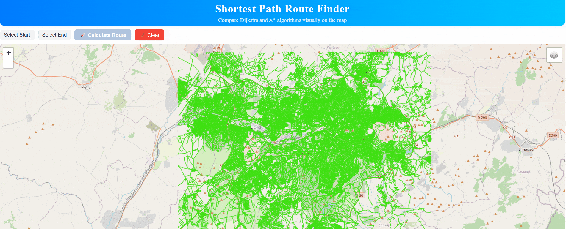
Shortest Path Route Finder (MVP)
This project is a modern MVP web application for visualizing and comparing shortest routes on a road network using React, Leaflet, GeoServer, and a Node.js backend powered by PostgreSQL/PostGIS/pgRouting, with a comparative analysis of Dijkstra and A* shortest path algorithms..
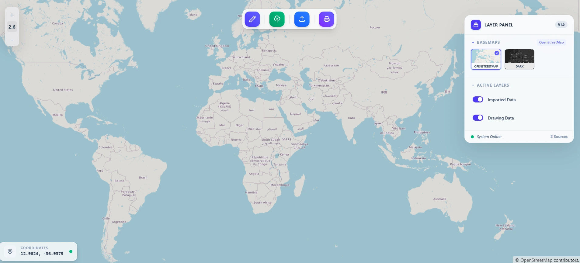
Real-Time Mapping System
In this project, I built a real-time mapping system that visualizes geographic points on a map with low latency updates.